VISUAL
RGB / Optical Zoom
Visible-light inspection and optical detail capture for condition review, documentation and qualified interpretation.
Output: High-resolution visual evidence
 People · Technology · Possibility
Understand what modern drones and AI can actually do: capture with advanced sensors, process imagery and spatial data, detect and compare conditions, validate findings with qualified human expertise, and turn evidence into practical business and engineering decisions.

Explore how sensing, processing, AI screening, historical comparison and qualified human validation become a decision-ready inspection workflow.
Hover, focus or tap a stage to examine its role in the HiiLSE end-to-end solution.
Dedicated technology subjects are kept semantically distinct so the visual, description and technical output remain aligned.
Visible-light inspection and optical detail capture for condition review, documentation and qualified interpretation.
Output: High-resolution visual evidence
Temperature-measurement imagery for locating abnormal heat patterns where the selected payload and mission support radiometric output.
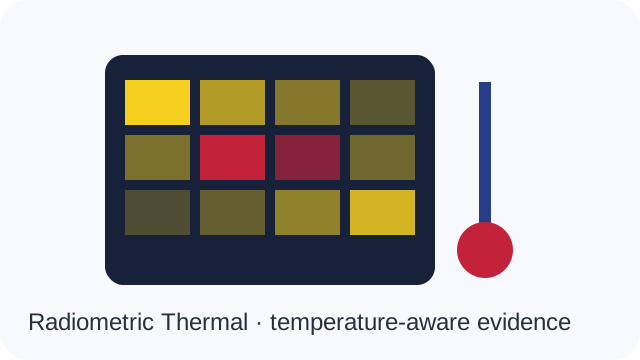
Output: Temperature-aware thermal evidence
Multi-band capture for spectral comparison and application-specific analysis; kept distinct from ordinary RGB and thermal imaging.
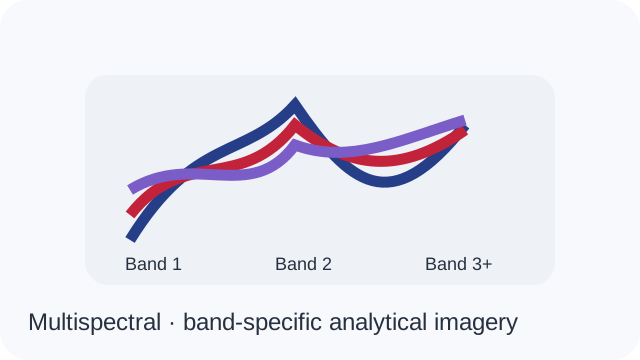
Output: Band-specific analytical imagery
Positioning and correction architecture used to improve georeferencing accuracy where supported by the mission configuration.
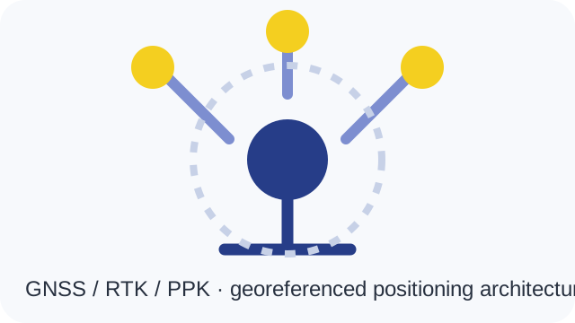
Output: Georeferenced positioning record
Range-based geometry capture for point clouds, dimensions, surfaces and spatial modelling workflows.
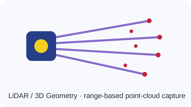
Output: 3D point-cloud / geometry data
Onboard or near-edge compute for screening, inference and workflow acceleration; results remain subject to configuration and human validation.
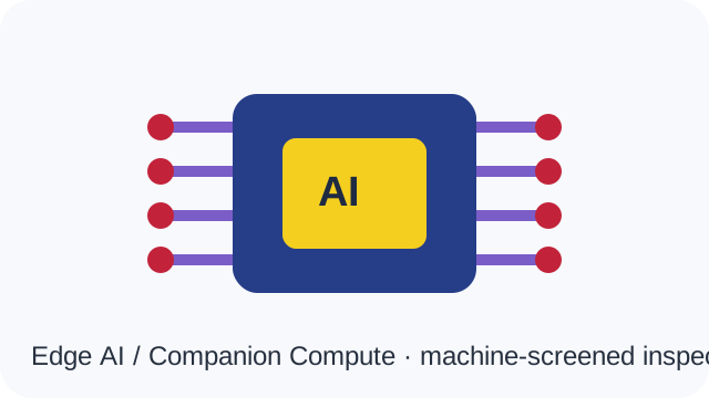
Output: Machine-screened inspection cues
Move the simulated drone, change location and camera view, watch predefined GPS/telemetry values respond, trigger AI/computer-vision detections, and follow the workflow into qualified human review and decision/reporting.
A modern drone is an aerial or robotic sensing platform. Depending on the mission it can combine RGB/zoom cameras, radiometric thermal, LiDAR, multispectral or hyperspectral sensing, GNSS/RTK/PPK, laser ranging, telemetry and other specialist payloads. AI then assists with detection, classification, segmentation, measurement, comparison and prioritisation.
HiiLSE Mission Intelligence connects Drone → Sensor → Connectivity → AI → Qualified Human Advisory → Decision / Report. The correct sensor, data quality and human domain knowledge are selected around the client requirement rather than around one drone brand.
Typical requirements include asset condition inspection, heat anomaly detection, 3D geometry and clearance measurement, vegetation analysis, construction progress, mapping, inventory observation and historical change detection. The public technology matcher below demonstrates which sensing/data workflow may be suitable.
AI is used to accelerate screening and pattern recognition. Qualified human review remains the validation and advisory layer for technical interpretation, false-positive control, prioritisation and report/action decisions.
Launch the full-screen public simulation to move the drone, change views and scenarios, observe predefined GPS/telemetry values, trigger computer-vision detections and see how AI findings move through human validation. All workstation data is clearly identified as simulation.
SIMULATION · Simulation Mode — telemetry, AI findings, controls and operational data shown are predefined/illustrative for demonstration and training purposes.
Simulation launcher ready.
The six existing inspection technology subjects remain the primary public structure. OEM/model records are added only after HiiLSE review and approval; the explorer is ready for governed product-by-product enrichment.
Approved product records can display actual OEM image, manufacturer/model, HiiLSE inventory code, key specifications, purpose, output and integration path. No unapproved OEM model is published by this release.
ILLUSTRATIVE / GOVERNED EXPERIENCE · OEM/model publication remains approval-controlled.
View, print, share or request approved HiiLSE resources for this page as they become available.
Standby actions remain visible for planning but never open a broken or unfinished asset. Published resources become active only after CMS approval.